This portfolio of photographs was commissioned by the Snite Museum of Art, University of Notre Dame, as part of the 150th anniversary of South Bend Indiana.
Elsewhere online: YIELD Magazine, Snite Museum of Art, University of Notre Dame, Notre Dame, IN, Issue 02, April 2016.
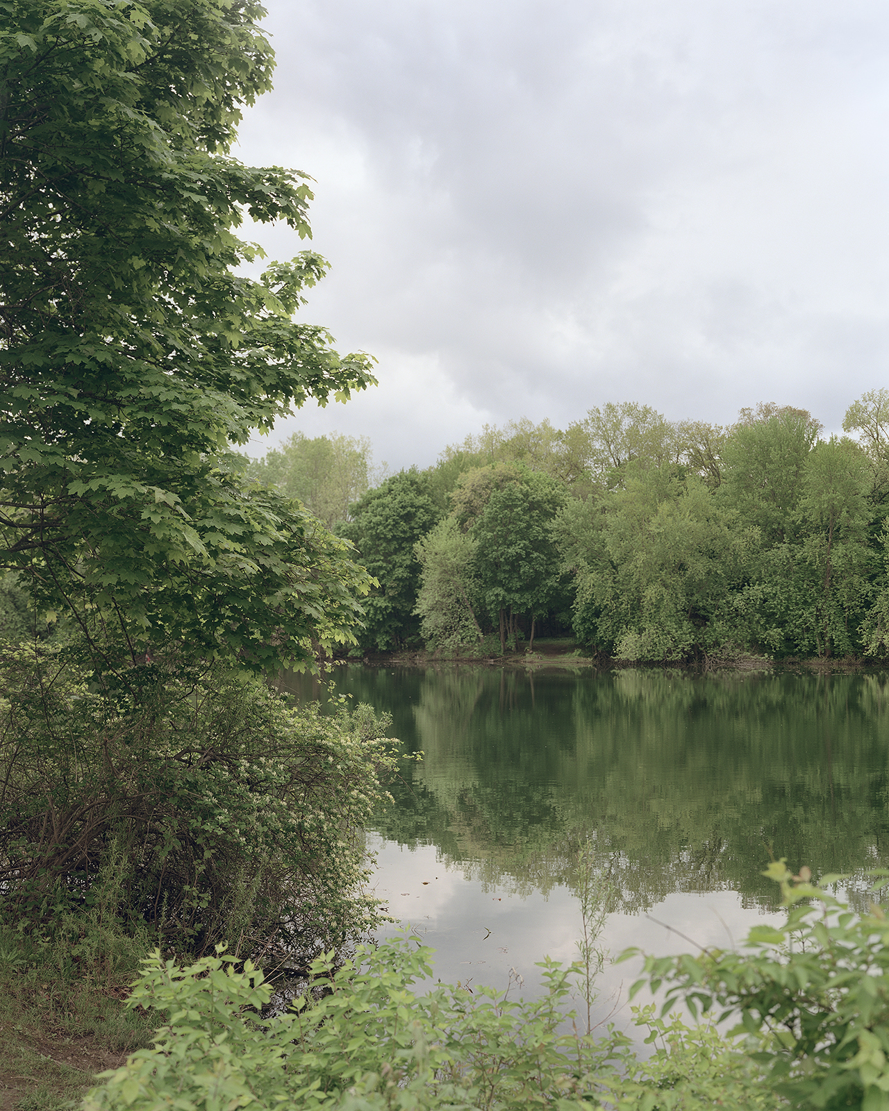
The portage landing at the St. Joseph River (now Pinhook lagoon)

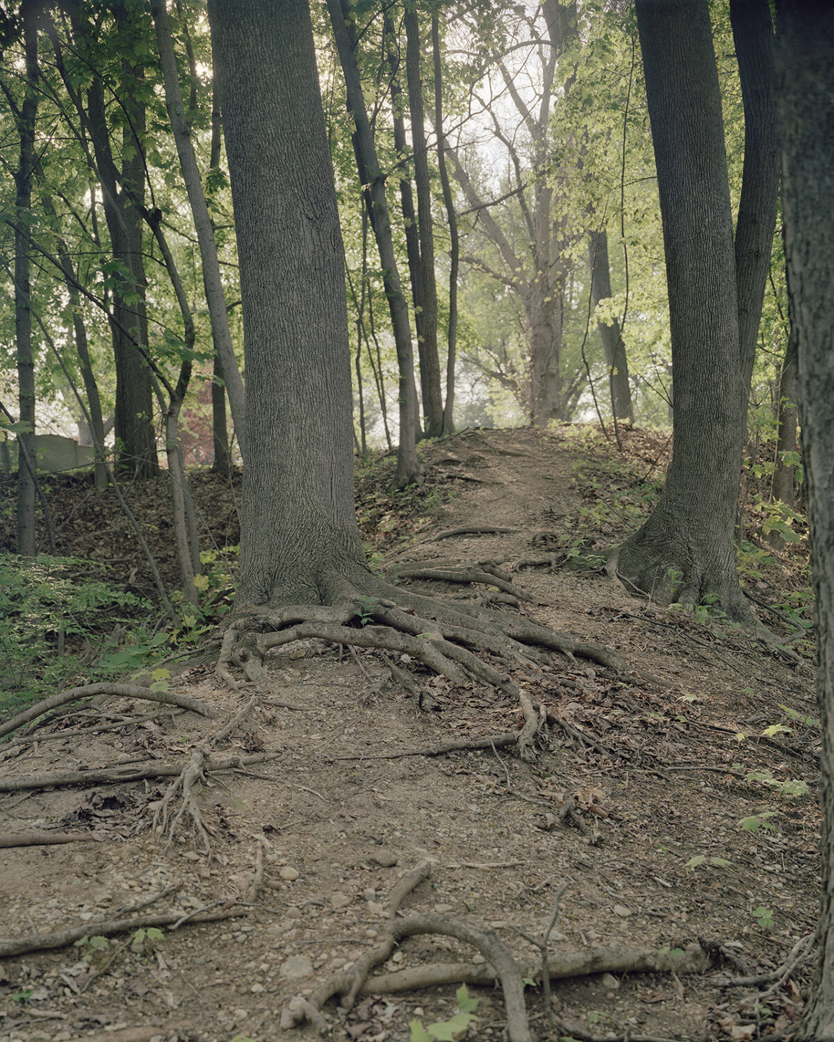
Footpath to the portage landing
Grapevine Creek
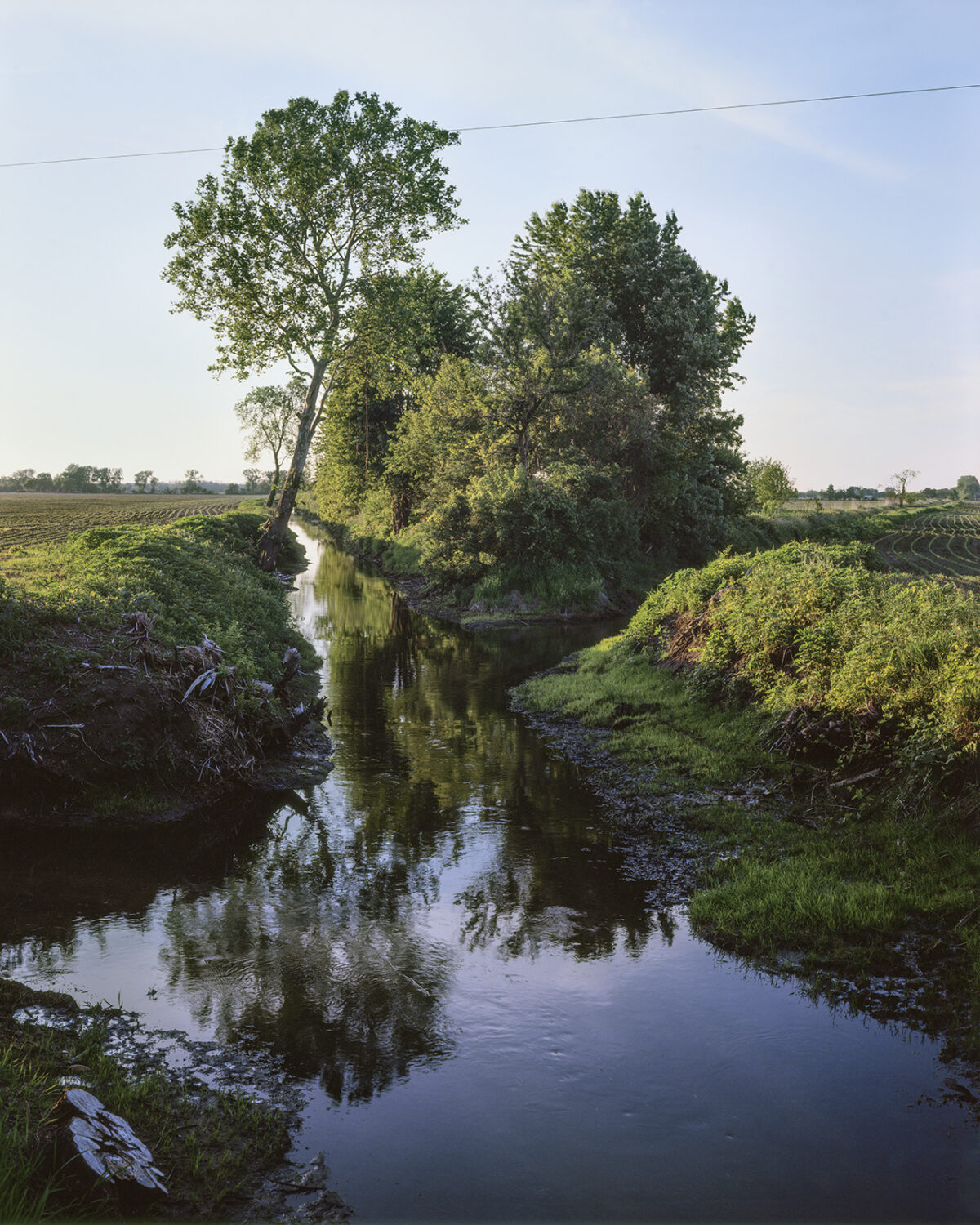
Bowman Creek
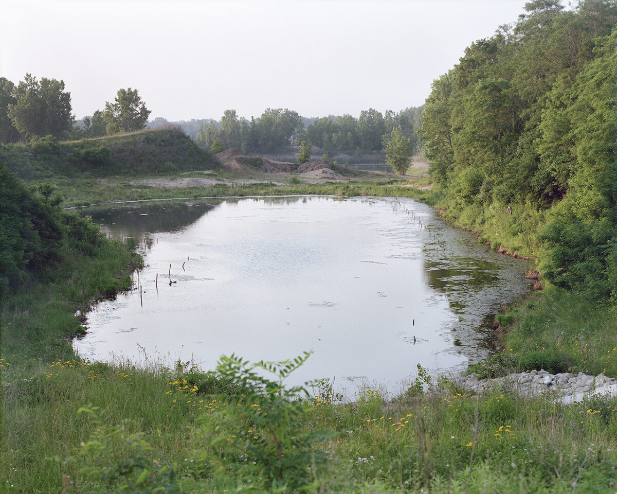
Gravel pit pond, Kuert Concrete
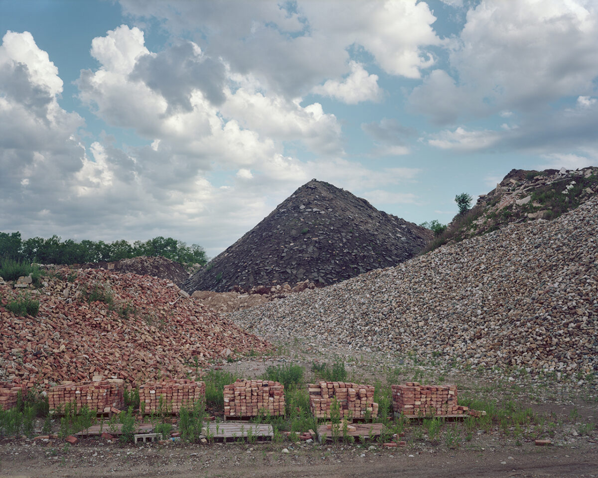
Road materials at a recycling facility
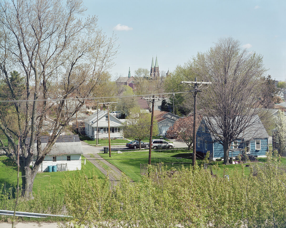
View of South Bend’s west side and Saint Adalbert’s Church
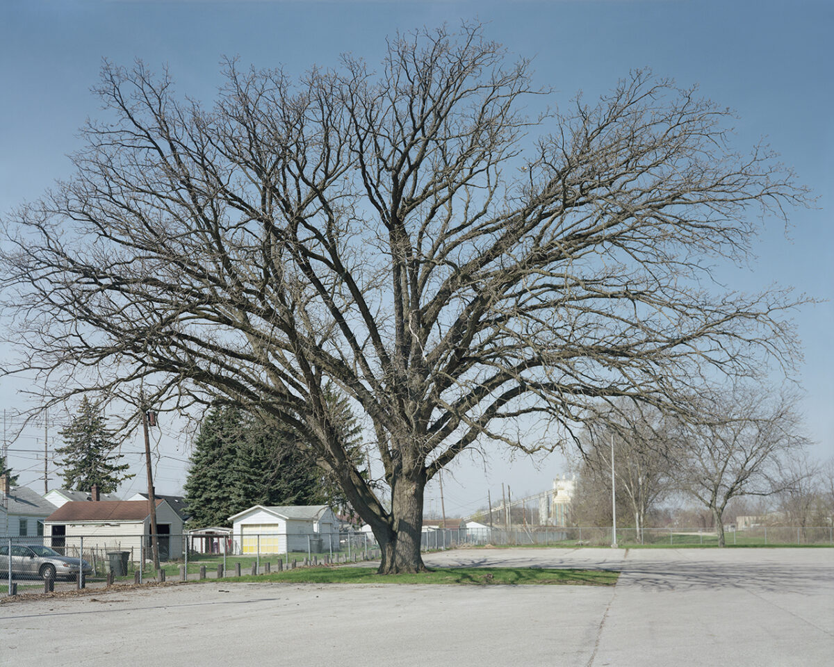
Tree, LaSalle Intermediate Academy
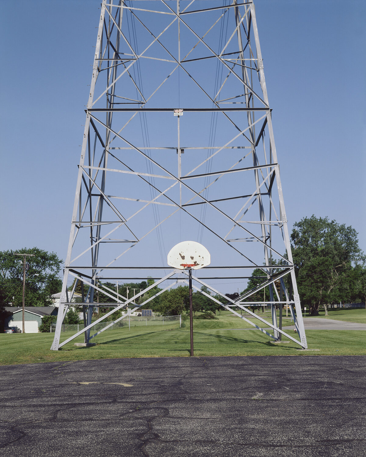
Tomahawk Drive, Boland Park
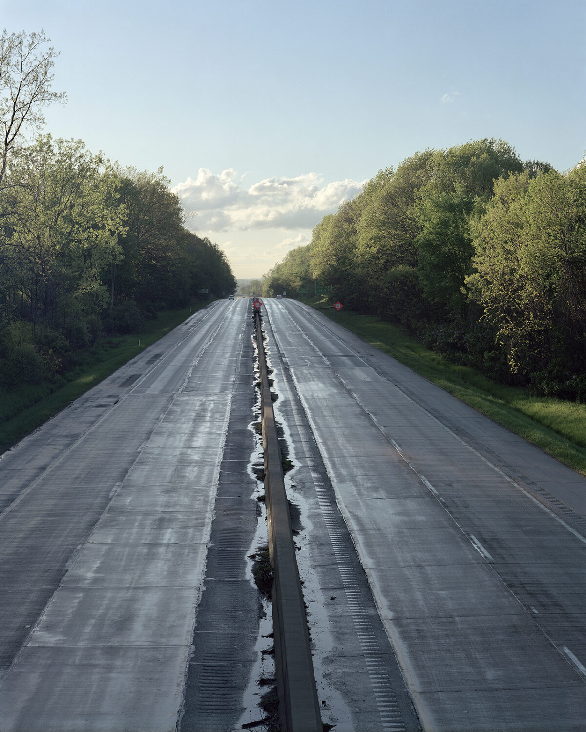
View of the U.S. 20 bypass at the Continental Divide
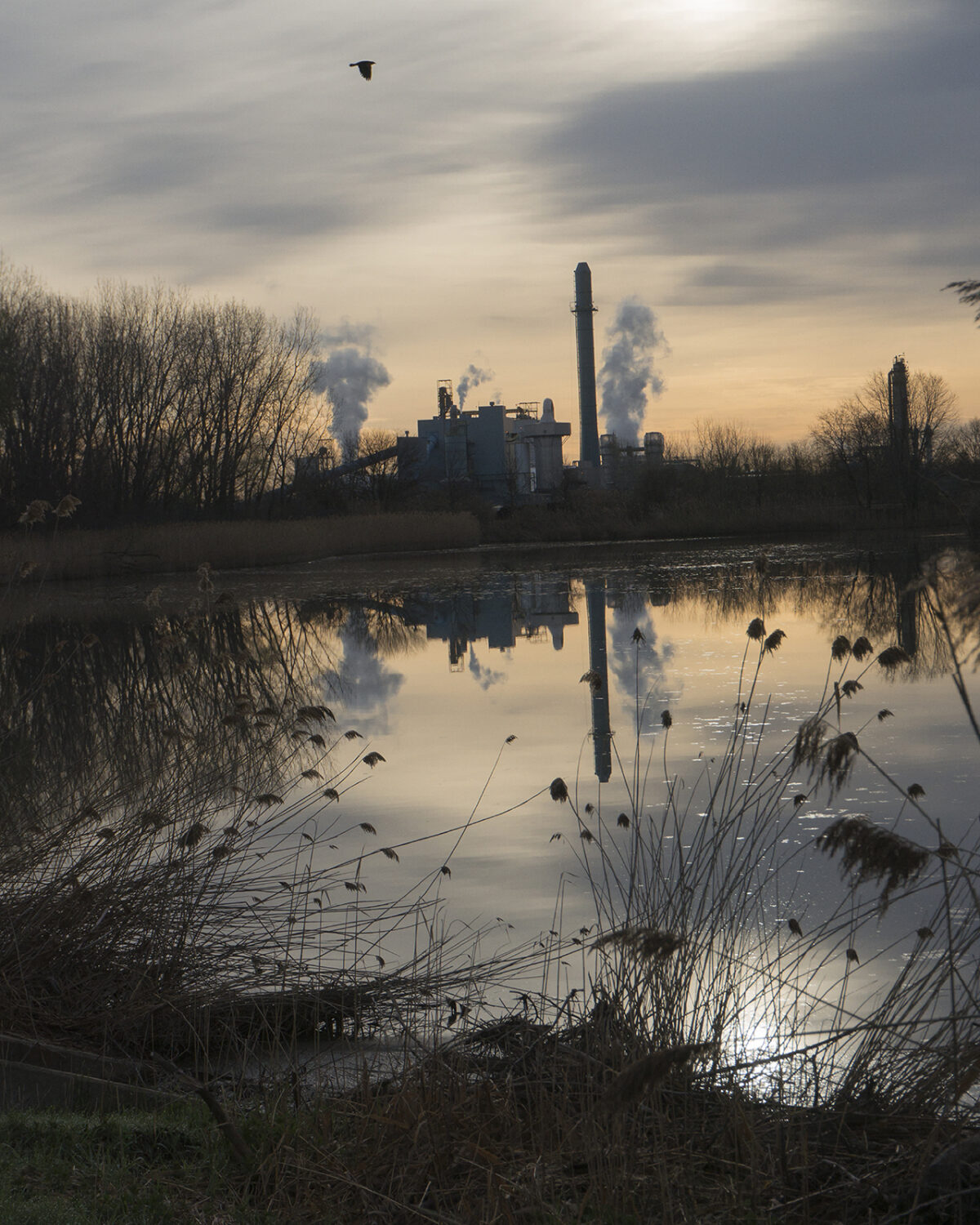
Pond behind the ethanol plant (headwaters of the Kankakee River)
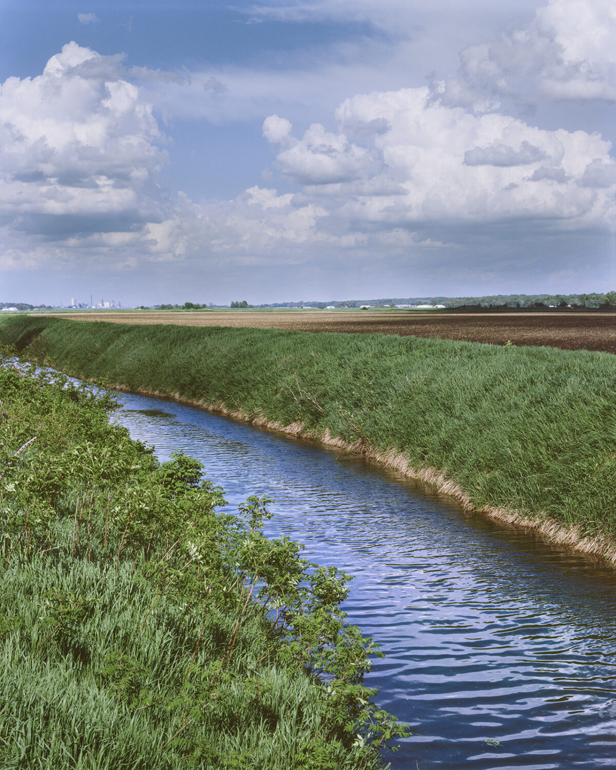
Kankakee River near Crumstown
Artist’s Statement
In May 2015 the City of South Bend, Indiana, celebrated its 150th anniversary, but its location had been significant in the lives of people in North America for hundreds of years before the city was founded, due to a portage path that linked the St. Joseph River to the Kankakee River. This trail was the only overland segment of an ancient water route between the Great Lakes region and the Gulf of Mexico. The course was first established by Native Americans and then used by the French explorers and traders who traveled from Detroit to New Orleans.
The shortest trail—there were different points to enter the Kankakee, depending on the season—ran in a four- to five-mile southwest diagonal course between what is now Riverside Cemetery to the vicinity of the intersection of U.S. 20 and Mayflower Road. A historical society plaque marks the northern landing of the portage, but otherwise there are hardly any remaining visible signs of it. Paved streets, railroads, graves, quarries, factories, and other buildings have erased it from our city.
I am equally fascinated by the idea that this area had been the site of cross-country travel and trade for such a long period of time as I am by the trail’s almost total disappearance from our landscape. Those who were alive when the path still existed described places where it was so deep that a man mounted on horseback could still touch its bank with his feet. My research indicates that South Bend, like many cities with similar heritages, made no effort to preserve the old portage.
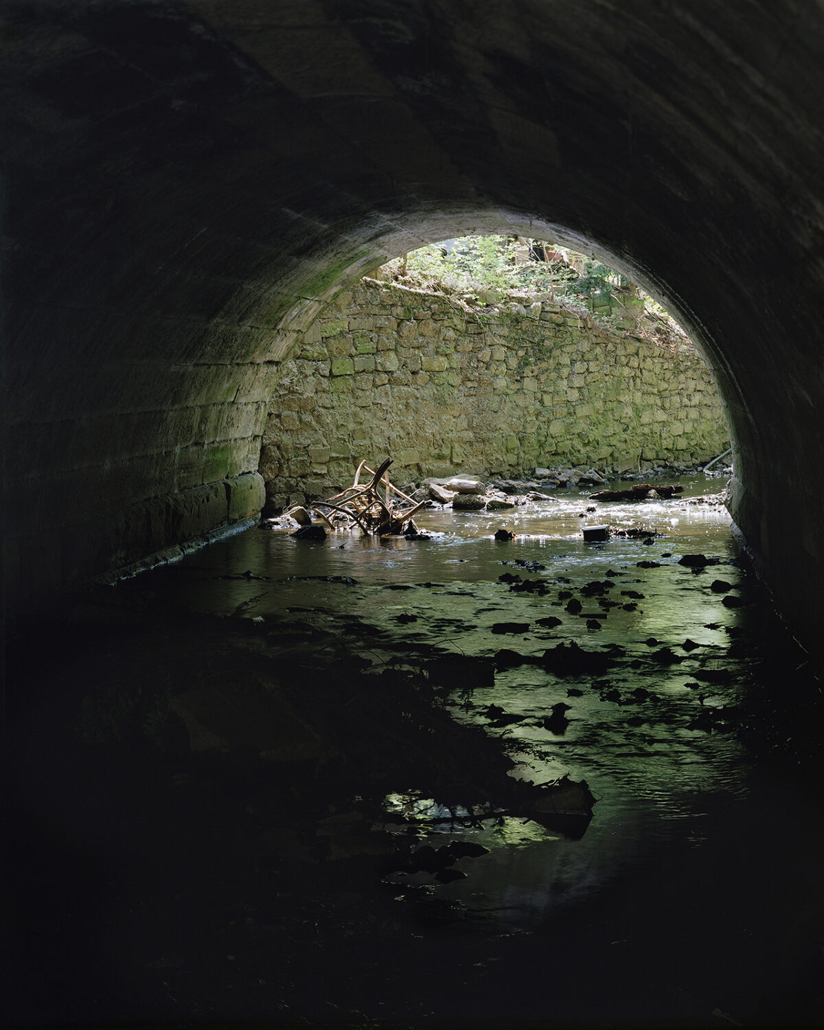
As there was no actual trail to photograph, I decided to suggest the idea of a pathway in each of the images. They were taken in the approximate area of the original route, and I did not try to conceal the human-made changes that have taken place along it. The St. Joseph River and some of its branches still reflect the pastoral beauty once acclaimed in descriptions of the area by eighteenth-century writers; other tributaries have been channeled underground. The 500,000-acre Grand Kankakee Marsh was drained in the nineteenth century, turning the Kankakee River into a large drainage ditch; an ethanol plant now makes use of its headwaters.
The Continental Divide, which separates the two watersheds that drain into the Atlantic Seaboard and Gulf of Mexico, runs between the two rivers and symbolizes the vast undertaking of the water journey. I also considered place names when selecting locations to photograph; for me they became empty reminders of what had once existed.
The story of the portage and what it has become is illustrative of a broader history of the forcible displacement and subsequent neglect of the original inhabitants of this continent. I want these photographs to remind us that the history of South Bend did not begin in 1865; people were living in this region for hundreds of years previously and their knowledge and use of the land were directly responsible for the location of this city.

The Portage Path artist book
30 pages with map insert, 8.5″ x 11″, edition of 12.
Handprinted by the artist, handbound with letterpress cover by Bari Zaki Studio.

Snite Museum of Art exhibition catalog
Sold out